
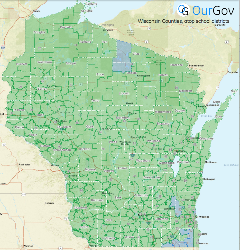
Recently we received a request from a client to learn more about which congresspeople related to each school district. One of our researchers did a little digging and found that Shelly Witte of the Department of Public Instruction has put together a great set of GIS data depicting all of the school districts in the state, which can be viewed here on the Wisconsin DPI site:

While there isn’t a direct association between legislature districts and school districts, it can be helpful to overlay one atop the other to become acquainted with the school districts in each legislator’s district.
This is not only possible, but fairly easy to do thanks to the hard work from Shelly and the LTSB team that shares map (GIS) data on arcgis.com!
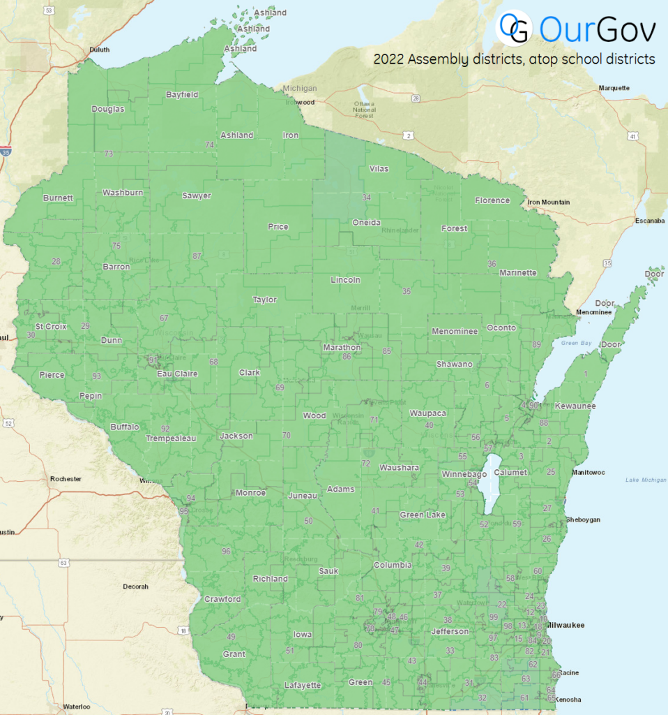
Here are two examples of how this can be done, the first with the Wisconsin counties overlaid, and the second with 2022 Assembly disctricts.
For all maps by the Wisconsin Legislature Technology Services Bureau, check out the WI DPI Arcgis page here and start creating your own maps!
Check out OurGov to see the list of the current legislators and apply various filters like which chamber they’re in, or our features page in our blog to learn about other features.
🗺️ Best of luck,
The OurGov team