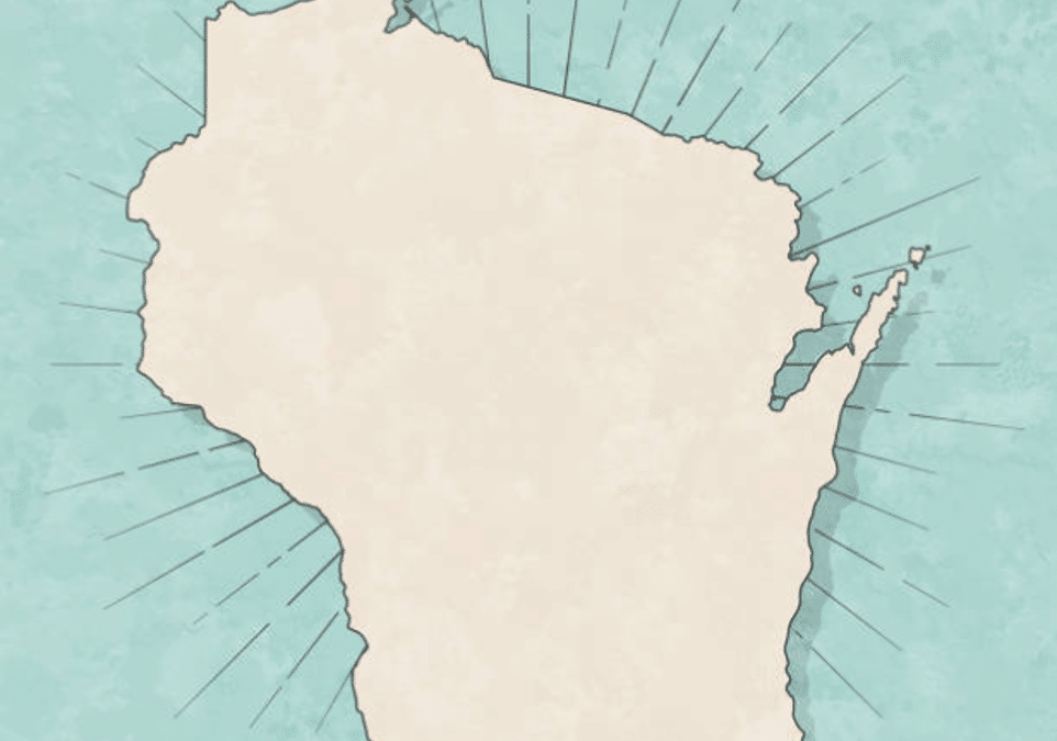
Amongst voters, legislators and other elected officials, there’s a growing interest in understanding the Wisconsin’s district maps. As these maps take center stage amid a pending Wisconsin Supreme Court case, we find ourselves fielding a growing number of requests for district maps on the site.
These maps are often overlooked in everyday life, but, as of these last few months, have been the focus of much media and judicial campaigning. In this blog, we explore why Wisconsin’s district maps are vital for fair elections.
Why Share Wisconsin’s District Maps?
Transparency and Understanding
District maps are important for ensuring transparency in the political process. They provide citizens with a clear picture of how the state’s political boundaries are drawn. By sharing these maps, we empower individuals to better understand the geographical layout of their districts and the representation they receive.
Election Participation
Access to district maps is vital for those who wish to actively engage in the democratic process. Knowing your district allows you to participate more effectively in local elections, understand the issues affecting your area, and make informed decisions at the ballot box.
Assembly
There are 99 Assembly districts in Wisconsin, and 33 Senate districts. Each Senate district encompasses 3 Assembly districts.
Senate
The Pending Supreme Court Case
The day after progressive justices outnumbered conservatives on Wisconsin’s Supreme Court, a lawsuit was filed to redraw the district maps (last drawn in 2021).
That Supreme Court case is pending, and its outcome could potentially lead to revisions in these boundaries. Keeping an eye on this case and staying informed about any updates is essential for those who want to remain engaged in Wisconsin’s political landscape.
As the controversy surrounding the district maps continues to unfold, our aim is to provide you with easy access to these maps for your reference and use. We believe that sharing this valuable resource empowers citizens and encourages active participation in the democratic process.
Feel free to explore the district maps of Wisconsin, and stay tuned for any potential changes in the future. Your engagement and understanding are key to shaping the state’s political landscape.